Livable City’s Greenway Initiative
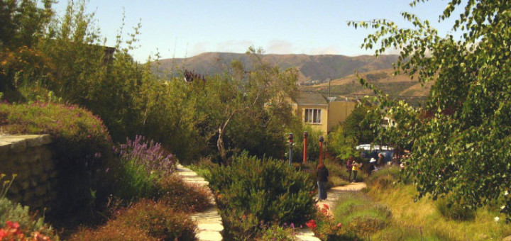
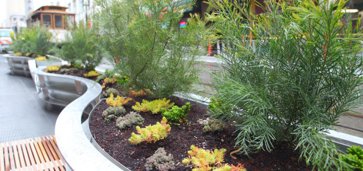
The goal of the Greenway Network Initiative is to create a citywide network of landscaped boulevards, green streets, and linear parks which link the city’s neighborhoods to one another and to the major parks,...
The goal of the Greenway Network Initiative is to create a citywide network of landscaped boulevards, green streets, and linear parks which link the city’s neighborhoods to one another and to the major parks,...
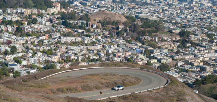
On April 21, the San Francisco Board of Supervisors approved the designation of five Priority Conservation Areas (PCAs) in San Francisco. Priority Conservation Areas are Bay Area open spaces that “provide regionally significant agricultural, natural resource,...
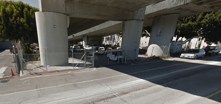
San Francisco has about 850 miles of streets, in 12,500 street segments, covering about a quarter of San Francisco’s land area. 2,224 of those street segments are “unaccepted streets” – streets that are not...
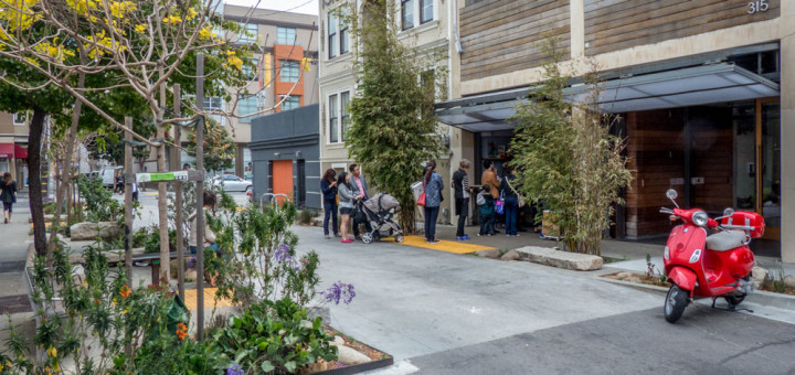
Public rights-of-way – streets and alleyways – make up about a quarter of San Francisco’s land area. Projects that reclaim alleyways as neighborhood-serving public places with greening, traffic-calming, and pedestrianization are moving forward in 2015. Living Alleys, also...
As San Francisco’s Downtown gets denser, and increasingly mixed-use – housing, retail, hotels, entertainment, and cultural institutions along with offices – it needs better public amenities – better streets, greenery, and usable and appealing public open...

A livable San Francisco is a network of Livable Neighborhoods. Each neighborhood should have a distinct character, but each should be complete, supporting living, working, commerce, and culture. Livability Goals Advance Priority Transportation and...